Unsurprisingly, there was nobody on the trail at ~4pm, which made it really nice. I didn't see a soul the whole time I was there. I walked up the road a bit to pay my respects to the PCT before heading up the mountain. There were a couple of cars parked there for Silver Peak. The trail to Mount Catherine is lovingly marked "Trail #1348". It starts out flat and rocky before beginning the aggressive switchbacks up the mountain’s southern flank. This section is pretty relentless, but nothing you haven't seen before.
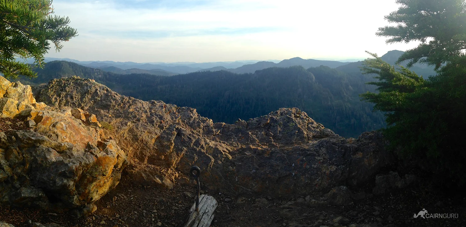
Near the top, the switchbacks stop, but the incline continues until the final ascent to the top. You can choose from a variety of methods to get up there, but the one with the cable is the most direct (and fun). At the top you can see 360° but some trees do obscure the view.
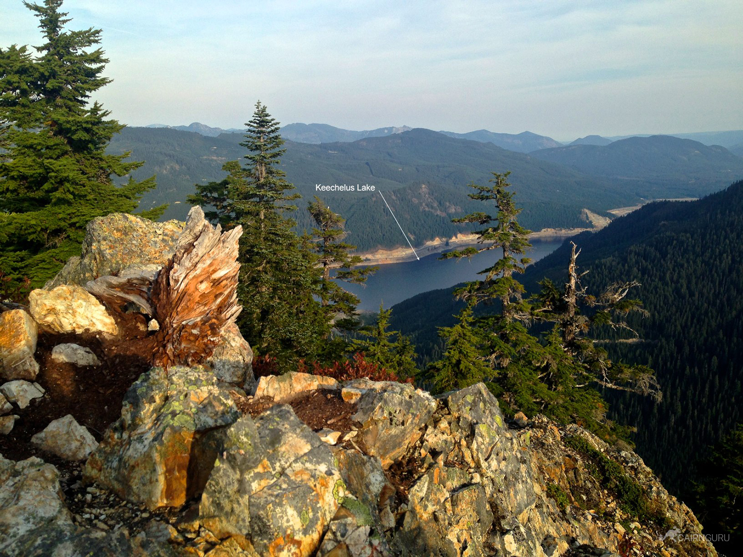
It was hazy when I went so Mt Rainier was a mere faint outline. I'll be back on a clearer day. This is a good, short hike that you can fit in when you don't have all day to hike. The forest road is bad in parts, but it too is fairly short. Go before the trees get any taller!