

I have a goal to get to as many fire lookouts as I can and this one has always seemed so easy that I've pushed it down on the list. I drove the two hours to the trailhead a couple of weeks ago only to be stopped by a couple of nice rangers who told me to turn around because the mountain was in danger of a large nearby fire. Today the fire is mostly out and the trail is back open.
Looking north from the lookout
At 5,361 feet above sea level it was first recognized as a prime spot for a fire lookout in 1924. The lookout was replaced in 1928 and again in 1952. The Forest Service abandoned the site in the 1970s but it was restored in 1996. During the summer months there is typically a volunteer at the lookout on the weekends, so if you want to go inside, schedule accordingly. For me, no such luck. The hatchway at the top of the stairs was locked shut...
Unable to access the lookout today
A short, steep trail from the parking lot leads to the fire lookout as well as 360 degree views of the Stuart Range, Teanaway Ridge, Chelan and Entiat Mountains, Mount Rainier, and Mount Adams on a clear day.
Views of the parking lot from the lookout
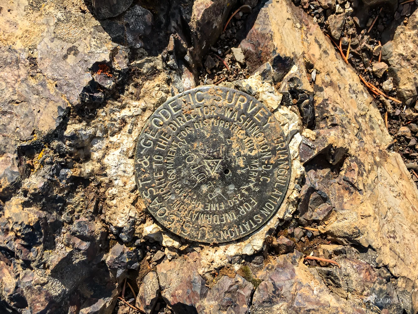
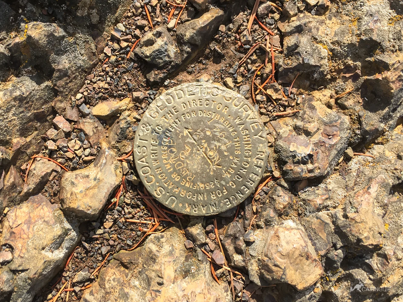
There are at least four Geodetic survey markers near the lookout. Two are on top of the rock just north of the lookout. One is underneath the lookout and the fourth is to the north of the lookout a few feet. There may be more.


The area is known for its agate beds, thunder eggs, geodes, and crystals. I didn't head down the trail the extra mile to get to the rock hunting area, but I wish I had. Next time!
There's some beautiful geology up here


