
Unfinished projects really bother me. They never leave my mind. I’ve had this hike on my list for far too long. I tried hiking it a couple of years ago in the Fall but it was too late in the day and the forest road was closed. Last year in August a fire burned 36,808 acres between Lake Cle Elum and the Teanaway, including the west side of Jolly Mountain. I thought I’d do this one early in the season before something else stopped me.
There used to be a fire lookout in this location until 1968
When I first started hiking I set the goal to visit all of the fire lookouts in the region. For the most part I have done that, so I've started visiting the locations of former lookouts. Jolly Mountain's first lookout was a cupola cabin built in 1921. This was replaced in 1936 with an L-4 cabin, which was removed in 1968. There are still signs of the previous structure in the form of steel support brackets, rusty nails and broken glass. Today, a rock wall shelters you from the wind as you take in the 100 mile view.
The original 1921 lookout alongside the 1936 remodel


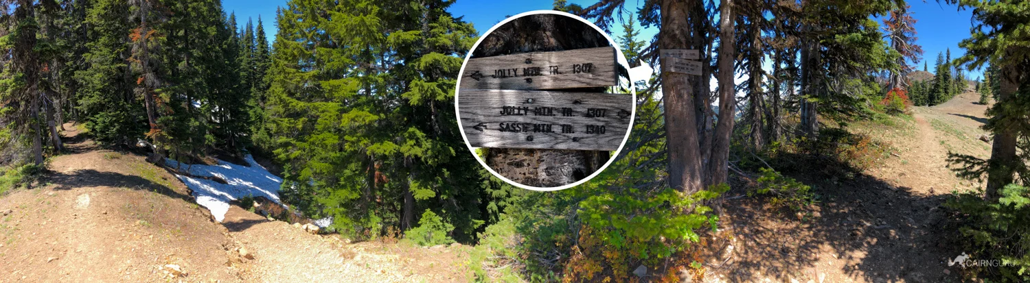
There's a dedicated trail (1307) to Jolly Mountain that begins at the Cayuse Horse Camp in the Salmon La Sac area north of Cle Elum Lake. It's a 9.1 mile trail and this time of year the trail conditions are going to be iffy. I decided to try the "short-cut" by taking Forest Road 4315 if it was open. There are two gates on this road and I have no idea why they are open sometimes and closed at other times. The last time I was here they were closed... but not this time!
The forest road is sketchy in places, but easily passable with a 4x4


The second gate was also open, but the road beyond is covered in debris and snow, so this was the end of the line. I hiked the remaining long switchback on the road and connected to the west side trail where the 2017 fire spent some time.
2017 late summer fire destroyed over 36k acres


The forest road leads to the Sasse Mt trail which connects with the Jolly Mountain trail. My shortcut saved me around 2k feet in elevation gain, but was still around 8 miles out & back. The last portion of that was hiking the north face of Jolly Mountain in the snow. I couldn't have done it without my Kahtoola microspikes, poles, my downloaded trail map and iPhone's GPS. I was constantly redirecting to get back on course as there was no visible trail to be found.
After popping out of the trees, Jolly Mountain was in sight
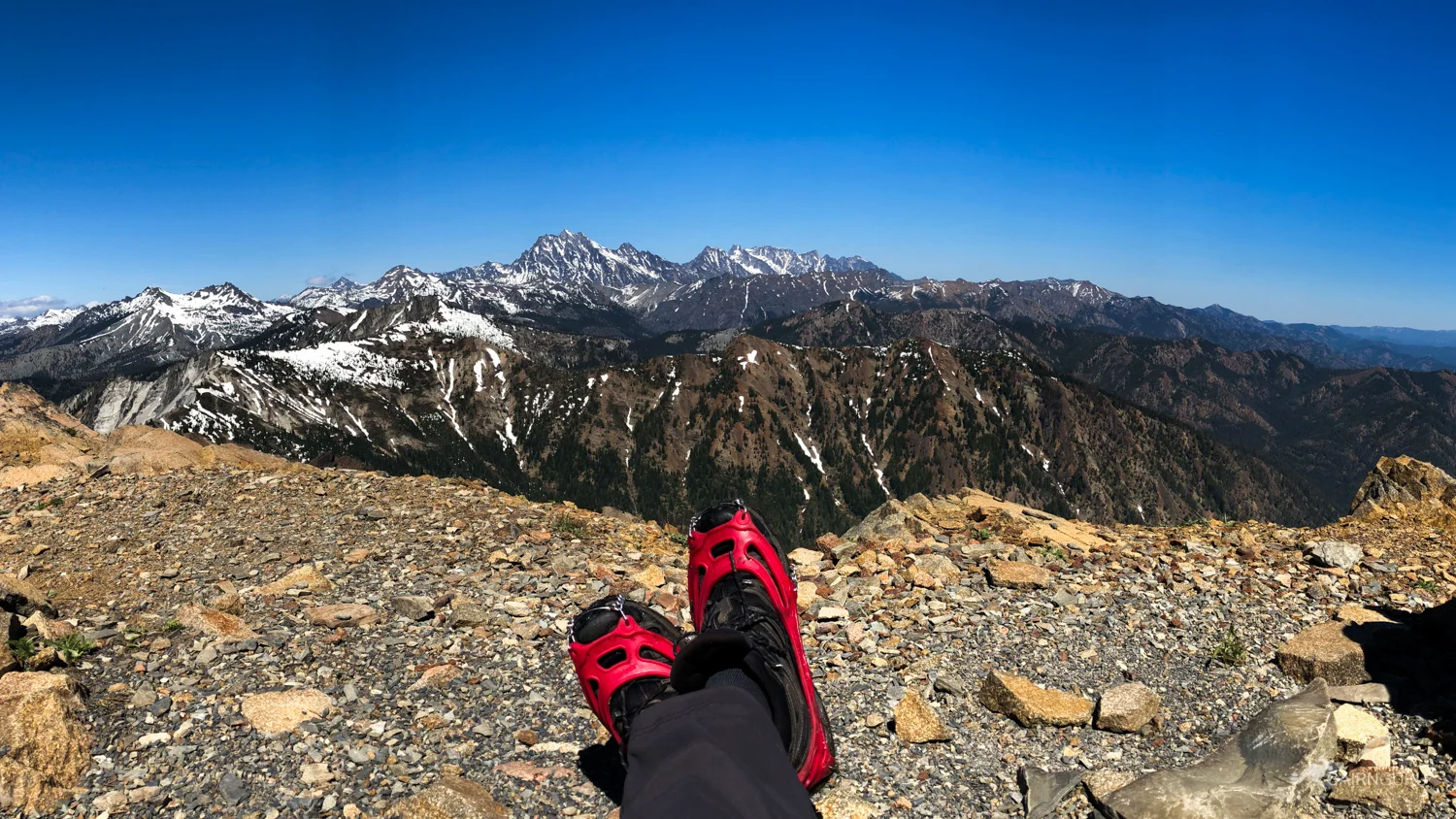
The views are amazing in all directions as far as you can see. Mt Stuart and The Enchantments were my lunch companions at the top along with an unusual amount of lady bugs. After an hour or so of complete quiet and solitude (didn't see a single person on the hike), I headed back down. Happy to check this one off the list.
Not a bad view for lunch
Seemed like a strange spot for ladybugs...


8 mi out & back
1680 ft elev gain
3 hrs up and 2 hrs down
Hikers seen: 0
Northwest Forest Pass required