
I started just before 10am and could see that the tops of the mountain were covered in snow, but didn't know what I was getting into because I couldn't find any reviews about the snow level and trail conditions. I figured I would just go as far as I could and turn back if I didn't think I could make it. I didn't have any spikes for traction or waterproof boots (both on my Christmas list :) but I had my trekking poles. It was slow and slippery and crazy windy, but I made it! More than any other hike, this one taught me the value of being prepared with quality gear.
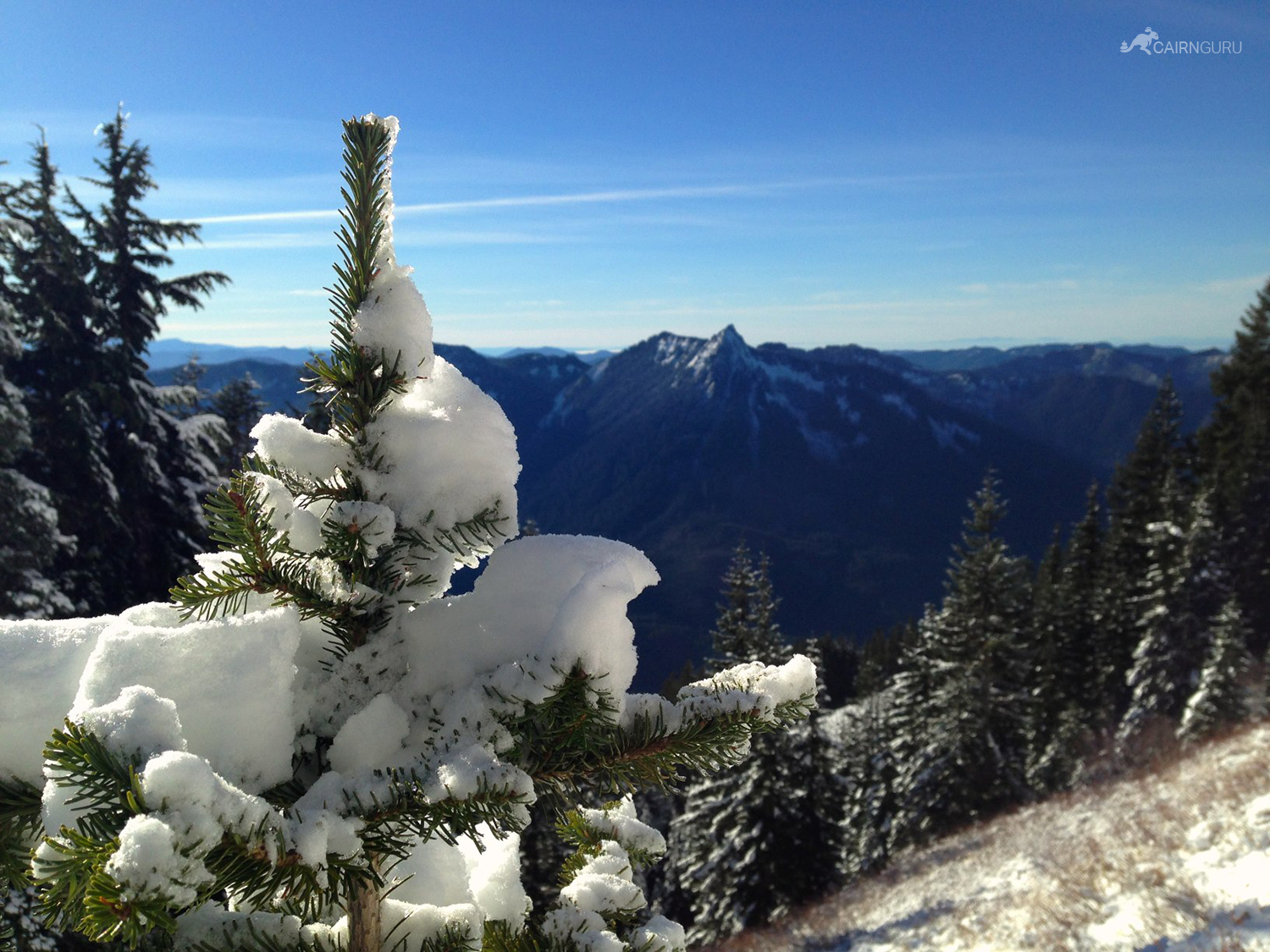
The first part of the Ira Spring trail leads to Bandera Mountain which Jan and I did in the summer. That trail breaks off up the mountain while this one drops down 400ft to Mason Lake before heading up the cold, windy, snowy north face of the ridge. The trail then cuts across the south face of the mountain before the scramble straight up to the summit.
Once the trail descends towards Mason Lake, the sun disappears and the snow begins. At this point I was really wishing I had some microspikes. Soon afterwards I arrived at the mouth of the lake and slipped crossing the rocks into calf-deep ice water. I almost turned back at this point because I was worried about my foot freezing, but the temps weren't that bad so I kept going. I wasn't sure I could wait for Christmas to get those Salomon boots now.
It was a scramble to the summit that would have been simple with the proper gear. With only poles I was concerned about slipping quite a bit. Eventually I made it to the top and felt pretty victorious.
I made it back just past sunset. Good thing since I didn't have my headlamp… As I mentioned above, this hike opened my eyes to the importance of being prepared with the proper gear. Never again.