
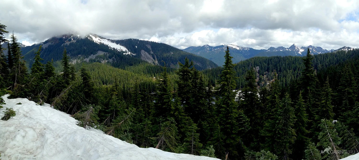
Don't let the easy first half fool you. This hike starts out as a leisurely stroll in the woods and ends in a thigh-burning boulder climb that seems to never end. Once it does, you will be perched on top of a mountain with expansive views to the south and north. On a clear day you'll easily see Mt Rainier, Mt Adams, Mt St Helens, Mt Baker and Glacier Peak.
The trail begins on Ira Springs Trail which also leads to Mason Lake and Mount Defiance. For the first 1.5 miles you'll walk on a wide, flat trail as it follows an old road. The trail then heads to the left and up the hill. It's here that you start paying for that flat road.
After another 1.25 miles of switchbacks you'll meet the junction for Mason Lake and Mount Defiance. Keep to the right and head up into the steep boulder field. It's not terribly dangerous (unless you fall) as there are plenty of places to stop and rest.
Once you reach the ridge the trail runs east to a false summit of Little Bandera where you can stop for lunch and soak up the views. This is a very popular hike and there will be plenty of people at the summit with you. The trail continues on to the true summit, but few people do that because the views are worse and the trail breaks down. There's not much to gain aside from bragging-rights.


